
The North Bluff above Lily Point

Juvenile bald eagle above Boundary Bay
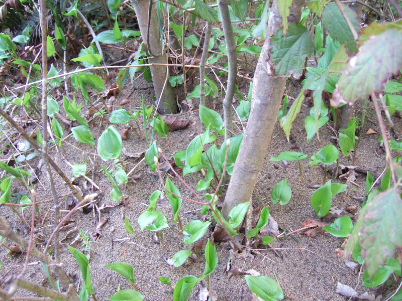
A turn north along the top of the bluff leads through a mixed forest of Douglas fir, western red cedar and grand fir and vine maple. One noteworthy feature is that the top of the bluff is an area of sediment deposition. Sand eroded off of the bluff face is t times blown up the slope and deposited on the forest floor.

After walking south along the edge of the bluff through the soft sandy forest, the cliff like portion of the bluff gives way to the steep but walkable slope down to Lily Point. The spring understory was just greening up when I visited, but the hard woods have note leafed out yet.

Spring green and a stand of big leaf maple
After reaching the shore, I had a nice view of the strata on the north bluff.

The exposure at this bluff is wonderful. The Geologic Map of the Washington Portion of Roche Harbor 1:100,000 Quadrangle (Logan (2003) can't do this slope justice due to the scale, but does note the uplands are underlain by glacial marine drift and late glacial outwash. What does that mean? It means that the entirety if Point Roberts was pressed downward by the mass of glacial ice that was over this area 18,000 years ago. The glacial ice was a mile or more thick; it pushed the local earth surface downward many hundreds of feet. As the glacier retreated the sea covered the entire point. There was still ice around floating on the surface of this sea. The melting ice rained sediment down onto the sea floor. The sediment ranged form clay and silt up to huge boulders all derived from the melting ice.
At this location not much if any of glacial marine sediemnts are exposed on the bluff. This bluff is made up of alluvial river sediments, some lake sediments, and possibly some tidal estuary sediments all deposited prior to the last glacial period. I picture a Fraser River prograding delta advancing southward prior to the arrival of the last glacial ice flowing out of the mountains of the BC coast range. The oddity of Point Roberts is that somehow this sequence of alluvial sediments was not eroded away by the glacial ice and stands as an island of elevated alluvial material.
Regardless of the above interpretation, the bluff provides a great cross sectional view of an alluvial system.

Disrupted lake deposits (light gray)
A couple of pale gray lake units are present on the bluff. This one though is broken into fragments. The lake sediments were caught up in a faster moving channel and deposited mixed with other sediments.

Close up of lake unit showing a nearly concoidal fracture
These pale gray units are not uncommon on Salish Sea bluffs. Because the unit has been compacted it is very hard; however, they typically are not very dense (as in low mass).
A more interesting layer that was not initially obvious was this layer filled with silt/clay "boulders". Picture a river flowing in a channel lined by river bank silts and clays. As the river under cuts the silt/clay bank blocks of silt/clay collapse into the channel. This is one of the better examples I have seen of this in awhile.

Silt/clay conglomerate

Close up of above showing sand and gravel between the silt/clay clasts
Then there was this oddity of cross cutting relationships:


No comments:
Post a Comment