Thursday, September 26, 2019

Klickitat River Delta

The Klickitat River discharges into the Columbia River just west of Lyle, Washington. The delta formed by the Kickitat is a busy place.   


The narrowing on the river at the delta attracts fishermen whenever fish are running. The high turbidity of the Klickitat is due to its glacial origin off of the east flank of Mount Adams, a 12,000-foot strato volcano. In the later summer the water in the river is dominated by glacial melt water. 

The delta also provides an excellent launching area for wind surfers.      


The Columbia Gorge is a windy place as it provides a gap between through the Cascade Range. During warm summer weather the heating on the east side of the mountains creates a strong pressure gradient through the gorge and weather systems coming in from Pacific also create strong pressure gradients through the gorge.

But note, the lack of wind mills. This section of the gorge is within a designated national scenic area and hence wind energy development is precluded in this area. Large wind farms are located to the east outside of the scenic area.   

Monday, September 23, 2019

Washington State's Most Fjord-Like Waterbody

Glacial ice flowing out of high mountains towards the sea may carve a deep valley that later becomes flooded with sea water. That is the classic fjord (https://en.wikipedia.org/wiki/Fjord). In the Pacific Northwest the term is not used. There are certainly classic fjords in the BC Coast Range, but the geographic term applied in that area is typically inlet or in some cases sound.

Washington State lacks the classic deep inlets penetrating into the high mountains that one sees in BC. The Skagit valley would come close but of course is a now valley not an inlet. Its lower end was likely a fjord for a period of time before glacial rebound and sediment deposition caused the sea water to exit. A case could be made for Hood Canal but the ice flow was in reverse of the classic geology feature. 

East Sound on Orcas Island might be the closest to meeting the classic definition. Ice flow from the north shaped Orcas Island and formed a relatively narrow sea passage between mountains on either side of the Sound. While on a venture on the shoreline of the Sound, the views were fjord like.          

View to the north up the south

View towards the south down the sound

And view across the sound

Note what appears to be a sill at the south end of East Sound
The sill feature may be hard resistant bedrock of the Constitution Formation 


Saturday, September 21, 2019

Starbuck IN A LANDSCAPE

The show put on by Hunter Noack and his In A Landscape team in Starbuck was a remarkable experience. The concept is to bring classical music to places that are somewhat remote from classical music. Head phones are provided so audience members can wander in the landscape. I mixed my time watching Hunter play and taking in the landscape. The last show of the tour is September 21 at Sacajawea Park near Pasco. 

Hunter Noack and the Steinway piano

Concert on the rodeo grounds with Starbuck behind
 
Two audience members took the show in while riding

Several found a view spot away from the crowd


The scoured basalt slopes of the Tucannon River valley provided good vistas

Thursday, September 19, 2019

IN A LANDSCAPE: Classical Music in the Wild

Hunter Noack is playing in Starbuck (the town!) on September 20. When I learned of this concert series (https://www.inalandscape.org/) I had the urge to drop all work and just meander about following the shows through eastern Oregon with a couple of wrap up stops in Washington.


For those that get a chance I would encourage you to get tickets for one of the last two shows. Starbuck is a small town on the lower end of the Tucannon a couple miles from its confluence with Snake River.

The last show of the remarkable series is at Sacajawea State Park in Franklin County at the confluence of the Snake and Columbia on September 21.

Wednesday, September 18, 2019

Toppenish Ridge Landslide near Mabton

Highway 97 south of Toppenish provides a nice view of a large landslide at the east end of Toppenish Ridge.   


Toppenish Ridge is underlain by Columbia River Basalt Group, specifically the Elephant Mountain Member - one of the younger lava flows of the CRBG. Toppenish Ridge is one of several folds of the Yakima Fold Belt that has rumpled the lava flows of the CRBG. There are multiple landslide complexes on the steep slopes of these ridges as a result of the fractured basalt lava with weak sedimentary units in between the lava flows.

Most of the slides are relatively old. By relative, the general sense is that they may have taken place during or shortly after ice age floods impacted the area. As such the edges of many of these slides  has softened with time and weathering. But also with time and weathering and erosion, some of these steep ridge slopes will become weaker and will fail. I do not know if anyone has taken a try at dating this landslide, but is appears much younger with sharp scarps still intact throughout the slide complex. 

Bare earth lidar imagery of slide

The lidar imagery is pretty classic and shows the slide deposit extending over the flood plain of Toppenish Creek and covering over flood overflow channels. The creek has yet to begin any erosion on the slide deposit - another factor in the case of the slide being a young slide. Also note in the lidar imagery that the eastern portion of the slide has only partially moved down the slope and that there is a gravel quarry excavation right at the base of this slope that has removed a portion of the slide deposit.

This slide got some brief media attention when the landslide at Union Gap initiated a couple of years ago. The conditions are similar with basalt overlying weak sediments. The slide is dissimilar in that this one appears steeper. 

Monday, September 16, 2019

Stream Crossing: Walk Carefully and Carry a Big Stick

In scheming access routes to a field site I had two choices. One option was an eight mile hike along an overgrown old logging road through thick brush and across washouts and landslides. The other was a much shorter hike of a bit over a mile, but required getting across a river.

I looked at aerials ahead of time and considered the gradient and thought I might be able to get across the river without too much difficulty or risk. This particular river is not glacier fed and being late in the summer, I was confident the flow would be low. I was prepared to swim if need be, but on getting to the river picked a route where the water would be shallow and not too fast. Because the river was low, I was able to easily walk along the bank to the preferred crossing location.     


The sweet spot, not too deep and not too fast

Finding the crossing spot I put my wallet and keys in a plastic bag. Found a good solid stick to help with balance. I removed my pants to minimize drag in the current and weight in case my wading turned into swimming. 


I successfully made the crossing through waist deep water. It was a bit close but the stick helped keep me upright. It sure beat miles of smashing through brush and on a warm late summer day was not uncomfortable. I was glad of the timing as the crossing would not have been possible most of the year.  

Monday, September 9, 2019

Ice Age Flood Spillovers in Fifteenmile Creek

Signal Hill, east of The Dalles

Heading up Fifteenmile Creek southeast of The Dalles, I noted a gravel quarry high up on the divide between Fifteenmile Creek and the Columbia River on the east side of Signal Hill. The gravel unit is part of the Dalles Formation that covers much of the western high plains of northern Oregon south of the Columbia River Gorge. The Dalles Formation is a volcanic sedimentary unit derived from an older stage of Cascade volcanoes with some sediment derived from the east. 


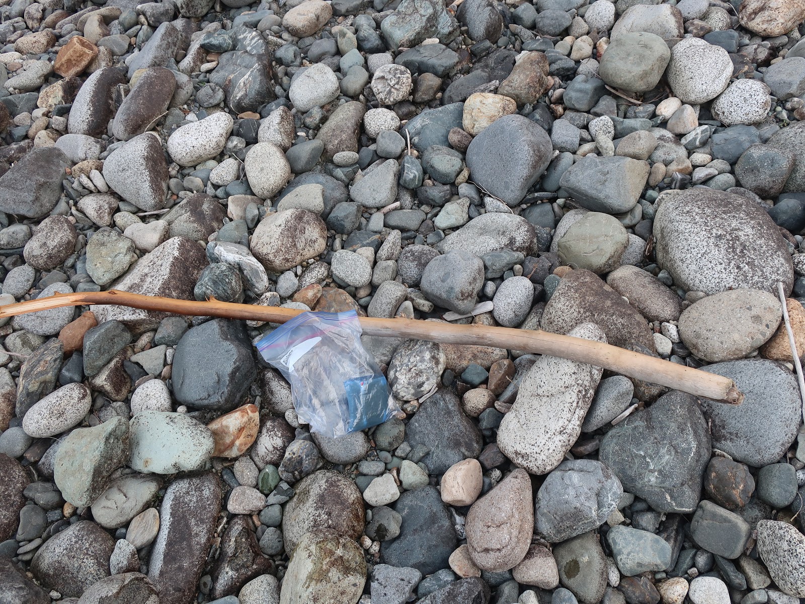
Further up Fifteenmile Creek is another gravel quarry.


This gravel unit is from the ice age floods that flowed down through the Columbia River Gorge. The flood was deep enough that it over topped the Columbia River Gorge and spilled into Fifteenmile Creek.

The Columbia River Gorge formed a restriction that caused flood waters to back up forming temporarily Lake Umatilla to the east of the gorge. Using a 340 meter elevation for the high water from the ice age flood in the area (Benito and O'Conner, 2003) on a DEM shows the extent of the backed up water. 

DEM of large ice age flood

Focusing on the dividing ridge between Fifteenmile Creek and the Columbia River shows water crossed the divide at two locations.

Ice-age flood spillover from Columbia Gorge into Fifteenmile Creek. 

The western spillover covered the entire western end of the dividing ridge including Signal Hill. The eastern divide spillover deposited the gravel in the above image.

The two spillovers can be seen from the Washington side the gorge looking south across the gorge to the Oregon side.

Signal Hill just below and to the right of Mount Hood is the location of the western spillover

The eastern spillover formed a valley across the divide. 
The bedrock cliffs are Columbia River Basalt Group 

Benito, G., and O’Connor, J. E., 2003, Number and size of last-glacial Missoula Floods in the Columbia River valley between the Pasco Basin, Washington, and Portland, Oregon: GSA Bulletin, v. 115, no. 5, p 624– 638. https://doi.org/10.1130/0016-7606(2003)115<0624:nasolm>2.0.CO;2

Friday, September 6, 2019

Haystack Butte Lava Flow part of The Simcoe Volcanic Field

Driving east on Highway 14 from the Celilo Falls overlook (the-former-celilo-falls), I noted a boulder covered slope with a low cliff area above.
 

The rock is basalt. No surprise given that the location along the Columbia River and the presence of Columbia River Basalt Group (CRBG) that is exposed as cliffs and terraces all along this area. I have observed the CRBG outcrops and the appearances of those outcrops and cliffs as well as the shapes of the features eroded by the ice age floods that poured down the Columbia.


The rocks themselves are unusually dark relative to CRBG rocks. Further the pile of sharp edge boulders and very rocky slope has a shape that is not at all consistent with what what I have observed elsewhere in the CRBG. The area in question is not extensive; a brief aberration that only differs slightly from the CRBG typical terraces, palisades and channeled scab land land forms. The difference in these rocks is rather subtle that may not be of particular note.

These rocks are not CRBG, but is the southernmost lava from eruptions associated with the Simcoe Mountains volcanic field. Phillips and Walsh (1987) indicate a lava flow emanating from Haystack Butte and flowing down to the river. Their map in part adopts work by Anderson (1986) that includes an age of the flow at 0.9 million years.

The flow is part of the Simcoe Mountains Volcanic Field. Hildreth and Fierstein (2015) discuss the Simcoe Field as well as the adjoining volcanic fields. The Simcoe lavas are not part of the Cascades nor are they part of the older CRBG. The Simcoe Mountains volcanic field is not part of the Cascade Vlocanic Arc, which lies adjacent on its west. Hildreth and Fierstein (2015) conclude the Simcoe volcanics are "a distributed field of intraplate basalts, many of which have ocean-island basalt-like geochemical signatures, carry mantle xenoliths, and fractionate to alkalic intermediates rather than arc andesites".   

Map from Figure 1 in (Hildreth and Fierstein, 2015) showing regional location of intraplate Simcoe Mountains volcanic field (in red) in south-central Washington. Field is divided into three segments by crests of two anticlines (red lines) of the Yakima Foldbelt—N, northern; C, central; S, southern. Directly west are Mount Adams (MA) and Indian Heaven (IH) volcanic fields. Quaternary axis of Cascade Arc extends northward from Mount Hood to Bumping Lake and includes ~150 separate volcanoes, predominantly basaltic; along arc axis, selected cones and shields are indicated by stars and stratocone complexes by red triangles. Southernmost outliers of Simcoe Mountains volcanic field are Haystack Butte (HB) and Lorena Butte (LB). Anticline abbreviations: SMA, Simcoe Mountains Anticline; TRA, Toppenish Ridge Anticline.

Wednesday, September 4, 2019

The Former Celilo Falls

A pull out on Highway 14 on the north side of the Columbia River about half way between the intersection with Highway 97 to the east and Highway 197 to the west provides a view of the Columbia River where Celilo Falls once roared.   

View of the former Celilo Falls and the town of Wishram

Celilo Falls was an important fishing site for thousands of years. The falls allowed for catching salmon that passed up the Columbia River.  

1947 aerial view of Celilo Falls

Note the railroad bridge across the lower part of the falls and the canal for barge traffic on the south side of the river. The bedrock forming the falls provided means of spanning the river with a railroad bridge and the rail crossing is still in place. The town of Wishram still serves as a rail hub for trains heading up and down the Columbia River Gorge through the Csacde Range to the west. The Deschutes River just upstream also provided a rail route out of the gorge to south. 

During high water flows in the summer, the falls became rapids

Fishing at the falls - note also the fish wheel in the background


The falls and rapids also presented an early navigation. Canoes and small barges were either portaged around the falls or pulled by lines up the river or lowered by ropes down the river. A canal with locks was constructed to allow safe reliable passage around the falls by large barges. The canals were used until the river was dammed at The Dalles and the falls disappeared under the backed up water.
 
1955 aerial view of the The Dalles Dam under construction.

The Dalles Dam

The once great fishery tradition at the falls and along the rapids at The Dalles was greatly disrupted. Other dams on the Columbia and its tributaries both before and after The Dalles Dam construction have also greatly altered a way of life and an important food source at this location.