East Sound bedrock on the northeast Orcas Island coast
I had a chance to look at a fairly continuous set of outcrops of the East Sound Group along a portion of the northeast shore of Orcas Island. Bedrock outcrops of East Sound Group rocks are common throughout the northern areas of Orcas; however, the northern most shore area is the much younger Nanaimo Formation.
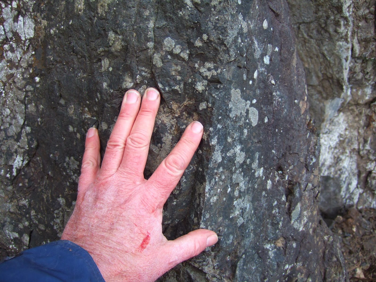
Erosion resistant volcaniclastic unit
My observations of East Sound Group rocks has been a bit biased. Inland site outcrops tend to be predominantly hard competent bedrock consisting of massive metamorphosed volcaniclastic units. However, there are softer shale units and significant fault/shear zones. Some of those shear zones are related to landslides and unstable slopes. Hence, as part of my geohazard work I have spent some time with these rocks and gained an appreciation of potential hazards. This shoreline traverse provided a chance to see a bit better exposure of some of the more sheared units.
Mangled tuff? unit in highly sheared shale unit
Highly sheared bedrock within fault zone
Brandon, Cowan and Vance (1988) coined the name of this unit as it crops out at East Sound, a fjord-like bay on Orcas Island. (Note the town at the head of the bay is spelled Eastsound.) Lapen (2000) references age dates as old as the Devonian (400 million years or so). Brown, Hausen and Schermer (2007) (wwu.edu/bernieh/reprints/brown-gsa-cord-07-san-juans.pdf) suggest these rocks formed as part of an volcanic island arc as the unit consists of volcanic related sediments, volcanic rocks are present as well as cherts and limestones. Another similar age formation to the south, the Turtleback Formation has been interpreted as igneous intrusive part of the ancient island arc.
This set of island arc rocks was later accreted onto the west coast of North America. Where that accretion took place and what happened to these rocks after accretion has been the subject of wildly divergent interpretations. I am in Western Washington University Camp that has the accretion way to the south, followed by northward transport and then a sort of second accretion as the terrains encountered the south end of Vancouver Island (a previous accreted terrain called Wrangellia) that was at the time a westward protrusion along the North American margin. .
The East Sound Group is one of several tectonic slices of accreted terrains in the San Juan Islands. It is thought to be the bottom of the pile of the San Juan-Northwest Cascades thrust system. Somewhere a bit north of Orcas or somewhere under the north shore area of Orcas is the footwall at the base of this thrust system. Alas this fault zone and footwall are not exposed.
Cross-section of Orcas Island (from Brown and others, 2007)
ES=East Sound Group, TB=Turtleback, OC=Orcas Chert, CO=Constitution Formation, GA=Garrison Schist, C=Fidalgo Complex are all part of the San Juan thrust system.
HS=Haro Formation is part of the footwall of the thrust pile.
NA=Naniamo Formation - back thrusted? over the San Juan thrust package but then eroded.
Block of highly deformed chert and tuff with sheared shales and sandstone wrapping around the block
One of the challenges of interpreting the San Juan thrust pile is that these rocks have gone though multiple deformations. One can look at one outcrop and see southwest directed thrusting and another will show northeast thrusting. Throw in that these rocks have gone through some post thrust emplacement deformation and it gets complicated fast and opens up possible multiple interpretations. Even within the small reach of shoreline exposures I observed there appeared to be multiple shear zone types that are of various ages. These rocks will require a great deal more prodding to decipher.


2 comments:
Dan,
Mangled rocks, indeed. Rocks only a structural geologist could possibly love. So many San Juan interpretations have been made, and will continue to be made. Oh, and you should REALLY wash that blood off your hand.
The traverse down to the shore involved passing through a couple Nootka rose thickets. Temperature that day was 20 F with 30 to 40 mph wind so I was not keen on getting my hands wet.
Post a Comment