Wednesday, August 28, 2019

Political Results Mapping Tool, Benton County

Doing some work in Benton County I noted that the County online mapping site includes an elections web mapping tool (https://bentoncounty.municipalcms.com/pview.aspx?id=6002&catid=45).  

I did a brief stint on the map and pulled up the 2016 general election results for president. Other results are also available for other offices. 
Yes, Benton County voted very much for Donald Trump. One small pocket up by Grandview and a few precincts in Kennewick and one in Richland went for Clinton. You can also use the tool to see the vote spread and see how many voted for other candidates as well as some precinct demographics. Fun stuff for political policy wonks. This sort of data is generally available, but this is the first I have seen it on a county GIS mapping application site.    

Tuesday, August 27, 2019

Priest Rapids Ice Age Flood Bar

A bit north of the Highway 240/Highway 24 intersection in the Hanford Nuclear Reservation the land drops down towards the Columbia River with a great view of the massive Priest Rapids Bar

View of eastern end of the Priest Rapids Bar.
The bar is the yellow/tan flat top hill.
Columbia River can just be seen in the foreground, the dark green is irrigated lands on the Wahluke Slope and the mountain ridge is the Saddle Mountains.  

The Priest Rapids Bar is a sand and gravel deposit that formed as flood waters from the ice age floods slowed after funneling through Sentinel Gap, the narrow gap where the Columbia River flows through the ridge of the Saddle Mountains. The gravel bar that formed is about 300 feet high. The picture above was taken from another gravel bar where the water flow slowed further has the land opens to the south.   

DEM showing Sentinel Gap and the Priest Rapids Bar down stream of the gap. 
Saddle Mountains are on the north

Bar is outlined in red

Highway 24 continues north across the Columbia at the Vernita Bridge and the turns east along the base of the large gravel bar.

Just east of the bar in low area is Saddle Mountain Lake. The lake is located in a low area formed by the flood deposits and later smaller flood or late stage flood erosion. The lake receives irrigation water from a system of canals that provides water to Wahluke Slope and is part of the Columbia Basin Irrigation Project associated with Grande Coulee Dam.   


Thursday, August 22, 2019

Notes on the Continental Divide

The Continental Divide 

Its pretty hard to see the continental divide on the ground in Minnesota and parts of North Dakota. The breaks in water flow to Hudson Bay, Gulf of Saint Lawrence and the Gulf of Mexico meander through low topography between lakes and sometimes swampy ground.


Mississippi River

 A slow flowing, not particularly distinguishable stream meanders through the North Woods connecting shallow lakes, joins other smaller streams and becomes the largest river in North America.

I played around with DEMs (digital elelvation models) to help visualize the divides.


The Mississippi drains southeast out of an area of elevated ground between Lake Superior and the broad plain of the Red River valley to the west. The Red River/Mississippi divide meanders across slightly elevated ground along glacial moraines and between lakes. The Red River is a product of continental ice pushing south as well as water flowing out from the melting glacial front. The divide within this glacial valley between the Red River and Minnesota River is marked by a low moraine that crosses the former glacial meltwater valley. 

Red River/Minnesota River divide on the left
The Red River flows north into a very broad valley
The Minnesota River flows southeast to join the Mississippi

Closer view of the divide between the Red and Minnesota 


TheJjames River in North Dakota is also separated from the Red River by a moraine. The two river flow parallel to each other with the Red flowing north and the James flowing south.


The drainage divide between the Mississippi and Lake Superior is also located within an ice age river channel with the divide being a bit of swampy ground between the start of the Bois Brule River and the Saint Croix River.


The glacial period greatly altered the drainage landscape of North America. The same was true in Washington State. While we thing of divides as being located along ridge crests of mountains and hills, there are numerous river divides that are located within former glacial and glacial river valleys with the divide being nearly impossible to discern on the ground. Examples are the divides between the Samish-Nooksack divide and the Sauk-Stillaguamish divide. The Columbia-Kootenay divide at Canal Flats in British Columbia is another grate example. The history of many of our rivers have been shaped by the glacial period. 


Monday, August 12, 2019

A River Ran Through It

Apologies to Norman Maclean for the play on words in the post title. A venture up the Skagit River valley took me across a swampy forest with occasional stream channels. This venture and a little historic research demonstrates the dynamic nature of the Skagit River.   


These channels will fill with water during flood events on the river. The soils in this area are silts and fine sand suggesting that water flow through this forest, when it does happen, is slow. Hence the channels are slowly becoming filled in by overflow river deposits.

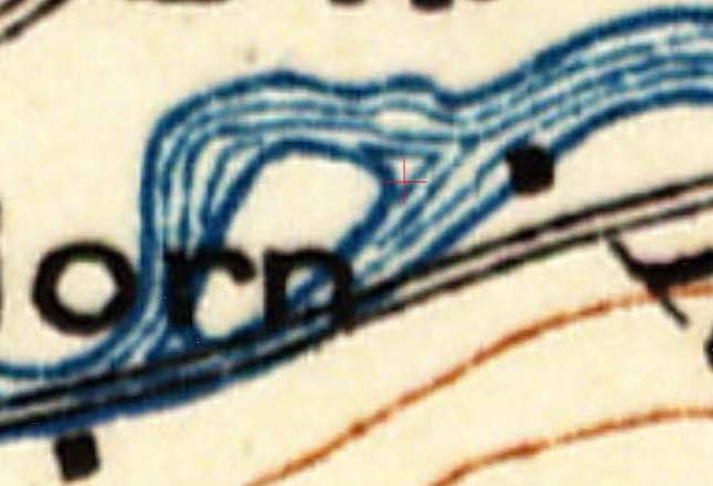
These channels are located in an area where the main channel formerly flowed. The 1881 survey map shows the river formed and island in the river.


An island was still present in 1915.


By 1937 the island was no more but the channel was still evident.


By today the channels are filled in with only a slight appearance in tree type indicating the old channel, but at the far end the old channel remains as a lake as it has not filled as much with sediment.

Friday, August 9, 2019

Slide Complex at Mesa del Oro in the Rio Grande Rift

One of my ventures afforded a view of the Rio Grande Rift in New Mexico.

Rio Grande south of Albuquerque

 J Fleck writes about water in the southwest and the Rio Grande water flows. Viewed from above the contrast of the river and irrigated land is sharp.

Mesa del Oro with large landslide complexes on the west side of the mesa 

Mesa del Oro is a basalt mesa made up of lava flows that have come up along the Rio Grande Rift zone. The mesa also has a thick travertine deposit (Priewisch, Crossey and Karlstrom, 2013). The travertine was deposited from springs with volcanic field associated CO2-rich groundwater.   

Basalt lava flows can break into large landslides due to the weak zones of soil soil between the basalt flows and the vertical fractures that develop in the flows upon cooling. It is hard to have a good sense of scale from 30,000 feet. The mesa is a about 800 feet high. The slide complexes from the top edge of the mesa to outer edge of the slide complexes are nearly 2 miles. I suspect that the slide complex has slowly developed as the top edge of the mesa breaks and collapses onto the slide surface the failed basalt blocks have slid and spread towards the west away from the mesa behaving somewhat like a very slow glacier.      

Thursday, August 8, 2019

The Cascade Range Defeats the Stratus

I have been traveling a fair bit. This has allowed me to have more of an opportunity to enjoy hot weather. Northwest Washington rarely reaches 90. My latest venture to hotter climates afforded a nice view of Mount Saint Helens.

Mount Saint Helens rising above the low stratus
The stratus forms in the cool air coming over the Pacific

On this day the stratus layer evaporates as it crests the Cascade Range
A fairly typical event in Washington summer weather
  

Friday, July 19, 2019

Notes from Castelluccio and Norcia Earthquake Damage

Castelluccio and Norcia are located in the central Apennines Mountain range in Italy. Castelluccio is in a spectacular setting. My first visit here was on a cold spring day that was just above freezing with a chilly fog. Many of the homes in the were abandoned. We were the only guests in the small hotel. A very austere cafe with plastic chairs and folding tables with concrete floor and walls was the only place to eat. However, the cook was incredible and we had an incredibly good dinner and shared our hosts enthusiasm and despair regarding this remote village. 


The town did have a bit of a revival due to tourism associated with outstanding outdoor recreation, spectacular scenery. The cook helped also as he turned out to be a rather talented and famous chef. Italy is a country of great regional pride and people come to Castelluccia for lentils - reportedly at least here as the best in Italy. 

However, an earthquake in 2016 turned much of the town into rubble.     


The hotel we had stayed at was gone. The cafe had not collapsed but was damaged beyond repair. The day we visited there were tourists visiting the flower covered fields or camping on the plain below and going on horse riding ventures into the mountains. Emergency funding had built structures outside of the town so the businesses could continue.     

Damaged building on the mountain pass between Norcia and Cstelluccio with replacement building behind.

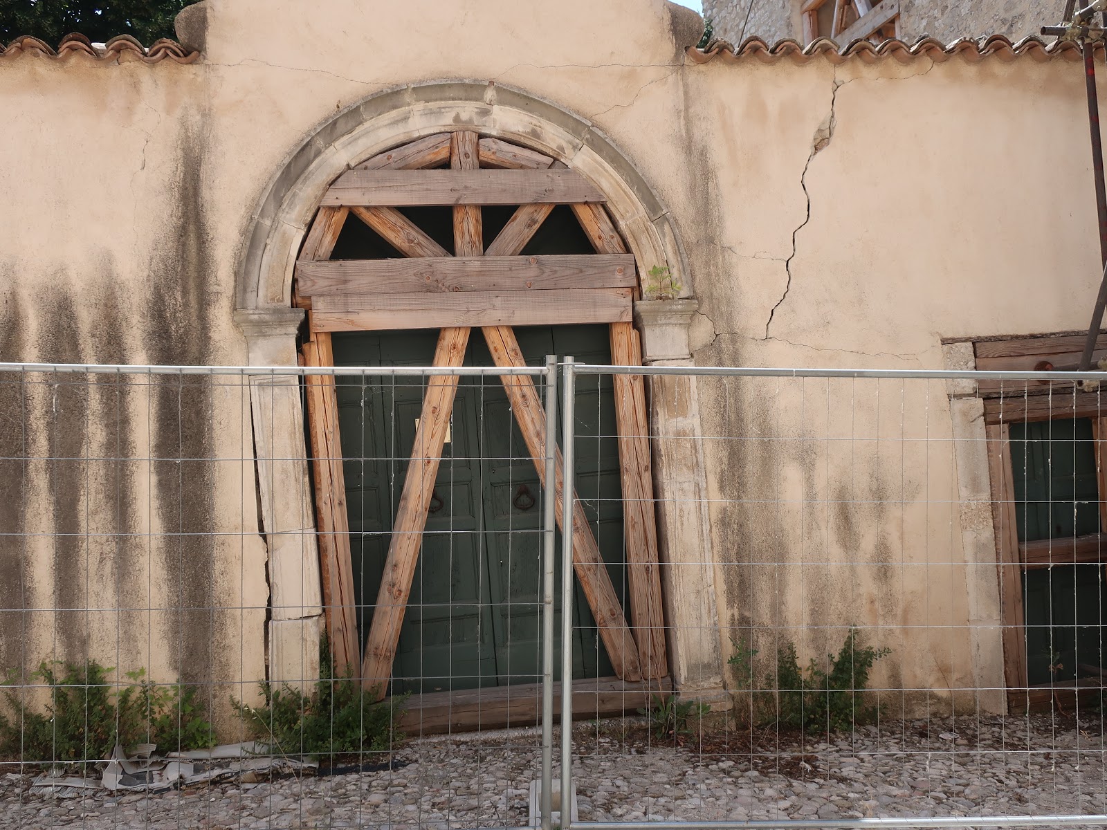
Norcia in the valley below was also severely damaged. There is an effort to rebuild some of the buildings including the famous church which for the most part had collapsed. 


We did note some local frustration at the slowness of the rebuilding efforts. Housing erected out side of the city walls has been built, but it is a much different community with so many people no longer living in the city apartments and homes. And tourism has declined with the main Churches destroyed.

The quake was a normal fault slip. The simple story of plate tectonics is that Africa is colliding with Europe; however, some small plate segments are caught between the collision of the two larger plates. The Apulia Plate (or Adriatic) underlies the northeast edge of Italy. 


The collision zone on the southwest side of this plate has formed the Apennines Mountains. The pile up in the collision zone has caused normal slip faulting to develop within the range.


These normal fault segments are not long, but they are generally shallow. Hence, when the slip took place near Norcia and Castelluccio the proximity of the movement combined with gravity wall masonry construction proved to be very damaging.

The recurrence intervals on these types of faults is not well known. In recent years a number of localized very damaging and deadly quakes have struck areas of Italy that had no previous historic damaging seismic events. This has caused a shift in risk approach - but a huge challenge given the centuries of stone construction.

It is clear that Italy has experience shoring up damaged buildings after quakes.