Sunday, January 15, 2023
Sea Level Rise: Notes on the December 27, 2022 Tide Flood
Friday, December 23, 2022
Notes on Sweet and others (2022) Seal Level Rise
Earlier this year Sweet and others(2022) updated Sweet and others (2017): Global and Regional Sea Level Rise Scenarios for the United State. Sweet and others (2017) suggested global sea level (GMSL) will rise as between 0.3 meters and 2.5 meters by 2100. Sweet and others (2022) find the high end of 2.5 m by 2100 less plausible. The bad news is that the rate of GMSL rise has been increasing and Sweet and others (2022) project that the rise in GMSL over the next 30 years will be as much as that over the past 100 years. The 2022 report notes a high level in confidence for their sea level rise scenarios over the next 30 years. Post 30 years the confidence level for sea levels is lower primarily because of uncertainty regarding some of the ice sheets in Greenland and Antarctica.
GMSL is not simple and the sea level rise is not uniform around the planet. Some places will see greater sea level rise and others less. The 2017 report included an image of global sea level rise from 1992 to 2016 derived from satellite data measurements.
Figure from Sweet and others (2017)
Global sea level has rises in an uneven manner due to currents, warm water expansion, and changes to gravity fields from more water in the oceans (the Earth's surface is flexible). The sea level also can vary due to cyclical climate patterns that move the ocean water around via wind and temperature patterns. I like to think that the ocean layer as having weather only slower and a bit less pronounced than the atmosphere. The image above also shows that on the Washington State coast the global sea level trend was near neutral for the 1992-2016 time period.For Washington State the 1993 to 2006 period the regional sea level rise was mostly neutral, but the more recent period of 2007 to 2020 shows that regional sea level on the Washington coast has increased as has the regional rates in most places around North America.
Sunday, December 18, 2022
The Two Hat Islands in Washington State
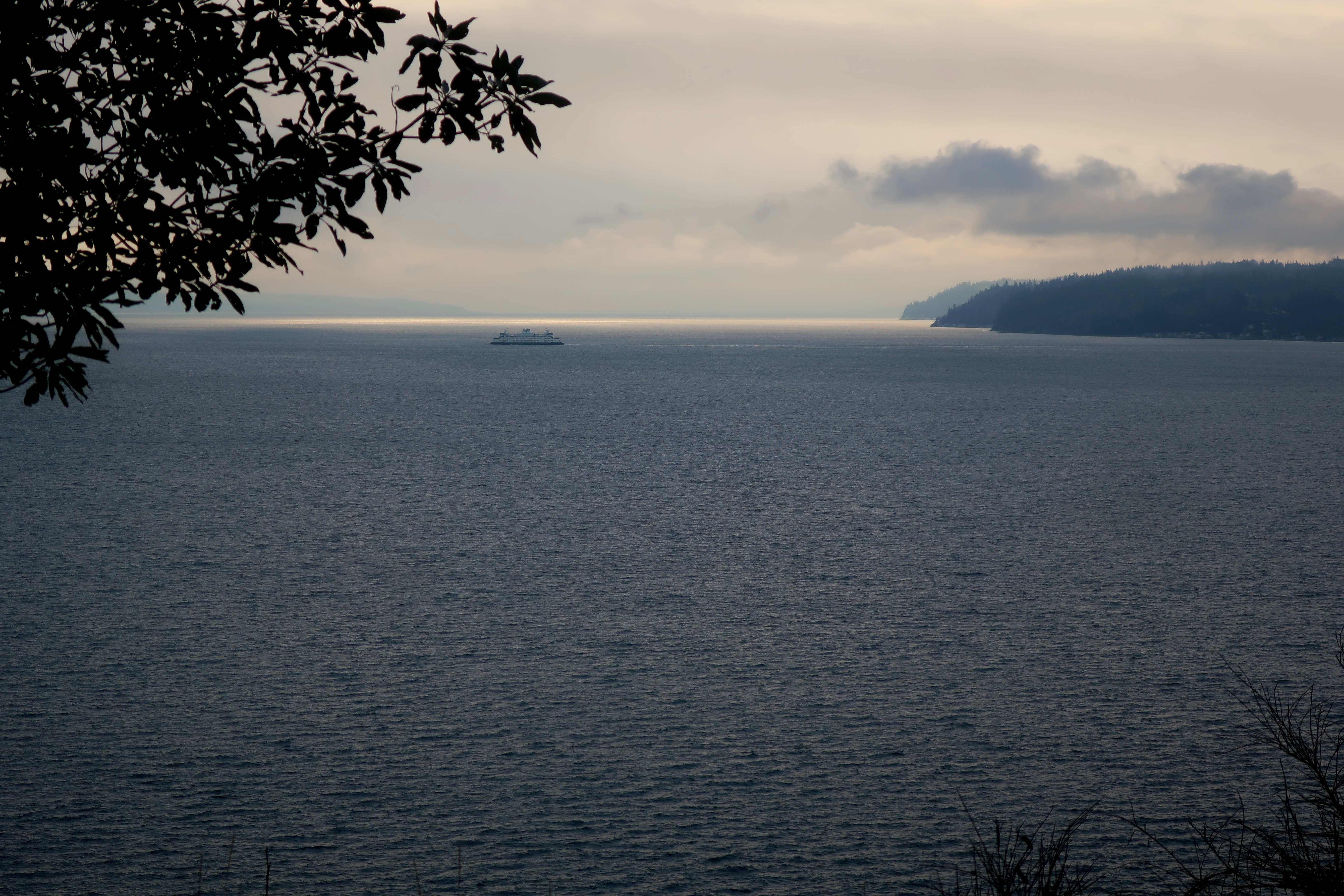
I visited Hat Island in Possession Sound west of Everett this week. The icy thick fog in the morning prevented a good picture of the island, but but I had a nice view from the island.
If one zooms in on the USGS National Map the Possession Sound Hat Island has two names.
Monday, October 24, 2022
Mary McCaslin - Prairie In The Sky
Friday, October 21, 2022
Former Placer Mining on the Columbia River
Friday, September 30, 2022
My First Pronghorn Spotting in Washington State
Antilocapra americana (pronghorn antelope) have been reintroduced to Washington State first by the Yakama Nation in south central Washington and a few years ago by the Colville Confederated Tribes in north central Washington. I finally saw my first Washington State pronghorn last week.
These two are from the Colville introduction. I had been told that that some of the pronghorns from Colville had crossed the Columbia River and these two were south of the river in northern Douglas County. This area of Douglas has a fair bit of scrub steppe land. The area was glaciated and has large areas of very thin soils over bedrock or thin glacial soils. As such cultivation has been very limited with grazing operations being the main historic land use and very few humans. All and all good wildlife habitat with pronghorns being new entrant after a period of absence.Sunday, June 5, 2022
Shuksan Greenschist
I had a work venture up the Skagit Valley near Marblemount. A major tectonic structure is located near Marblemout, the Straight Creek-Fraser River Fault. The fault is a strike slip fault with the west side having moved about 60 miles to the north. Movement took place about during the Eocene. The fault divides the Northwest Cascades to the west from the Cascade Crystalline Core to the east. Near Marblemount the rocks on the west side of the fault consist of the Shuksan Greenschist.
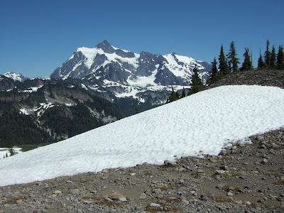
There is a good chance that you have seen pictures of Mount Shuksan as viewed from Picture Lake. Ned Brown noted in his book Mountain Building Geology in the Pacific Northwest that he saw a mural of Mount Shuksan in a coffee house in Japan. The back of my 4th grade class located nearly 1,000 miles from Shuksan had a mural of Mount Shuksan and Picture Lake and I saw the same mural image in a taverna in Greece.
Shuksan Greenschist has a high density and in places where the joint sets in the rock are widely spaced, the rock breaks into large heavy blocks that make for good ocean jetty rocks, in particular at the mouth of the Columbia River (skagit-county-greenschist). This possible use has generated some interest in mining into a mountain side a bit west of Marblemount. My venture took me past the potential mine site.
.png)