I had a couple ventures on Bainbridge Island and drove up Toe Jam Hill Road. Toe Jam Hill is an elevated area of bedrock within the middle of the Puget lowlands. The bedrock has been uplifted along the Seattle Fault Zone. The location of the hill along the fault zone has given the hill a bit of lidar fame. Kitsap Public Utility District decided to use lidar to accurately map out watershed boundaries on the island. The surprise result result was the identification of a previously unrecognized fault scarp across the north flank of Toe Jam Hill.


View up the hill towards the fault
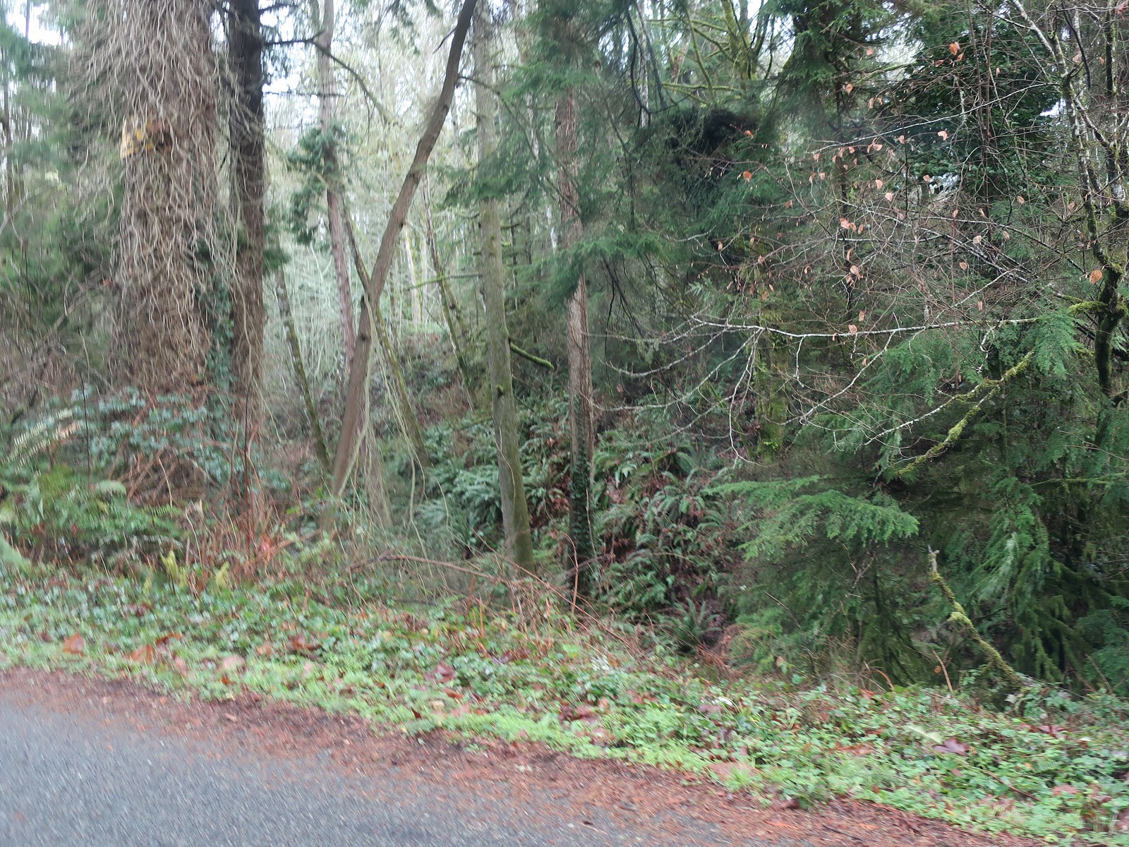
View of fault scarp from Toe Jam Hill Road
From the ground and with the forest, the fault scarp is not a readily apparent feature. However, with lidar, the fault scarp is readily recognized.

Lidar image from USGS ((Pacific Northwest Geologic Mapping and Urban Hazards)
The Toe Jam Fault is a fault splay within the Seattle Fault Zone. The trenching work along the fault has led to age dating of the offsets along the scarp (Nelson and others, 2003). That work is why Seattle as well as Bainbridge Island is deemed to have a higher earthquake risk than other areas in the Puget lowlands. Uplift associated with Seattle Fault has lifted the southern shore of Bainbridge Island creating a raised shoreline platform along the fringe of the south shore of the island.

Lidar image from Puget Sound Consortium Mark ups by Reading the Washington Landscape
Note fault offset of Toe Jam Fault is down to the south and up on the north. The uplifted shoreline platform is south of the fault. The Toe Jam Fault is considered a back thrust within the broader Seattle Fault Zone which over all is up on the south and down on the north (Nelson and others 2014).

Uplifted platform beach at Restoration Point, Bainbridge Island


No comments:
Post a Comment