I took a walk down Whatcom Creek to the upper Whatcom Creek estuary in Bellingham. Its a nice walk through the city urban center along the creek and the waterfall at the head of the estuary.


The passage along the creek and falls is a great perc to have in Bellingham.
I walk this trail fairly often as it leads from my office to the main post office, or, if I continue, through a park to one of my favorite watering (beer) holes. The park is Maritime Heritage Park. This park is where Bellingham began as a town due to the presence of the waterfall and its ability to power mill equipment. I have noted the changes that this bit of landscape has gone through before (shifting-landscapes-and-shifting-values), but that previous post left off the post saw mill period.
Post saw mill time, the estuary embayment was, like many waterfront areas, during that 1900s era viewed as an opportunity to create more land. From at least the 1930 through the early 1950s much of the estuary was filled. Much of the fill consisted of municipal garbage.
Post filling the site with garbage some commercial development took place and part of the estuary also housed the municipal sewer plant. Some of the buildings were not well founded and as the garbage settled, the structures began to sag. The Shrimp Shack provided an excellent geotechnical example of differential settlement that upped the geotchnical knowledge base of ordinary citizens.
By the late 1900s, the community values had shifted again and the City of Bellingham saw an opportunity to turn the area into a park. The City partnered with Washington State Department of Ecology and to remediate the legacy of what is now called the Holly Street Landfill.
Part of the remediation was pulling the garbage back away from the creek on the north bank and slightly widening the remaining estuary.


The southeast side of the estuary landfill is a well used park and includes a native plant restoration area with signage for many of the plants.


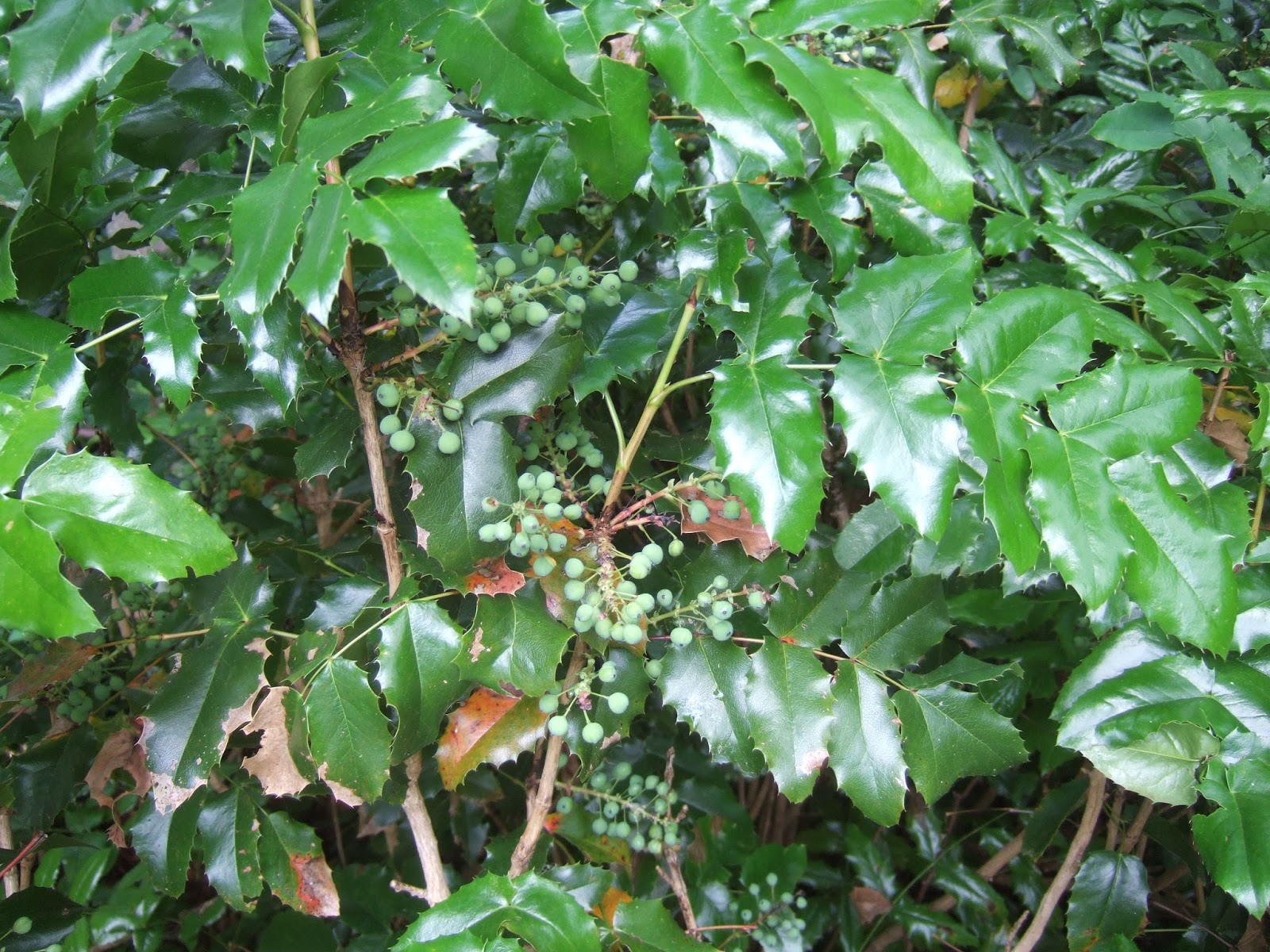
Tall Oregon grape has a relative:


Within the restoration plantings I noted that the western red cedars were not doing very well.


A possible explanation is the last few summers have had very long dry spells. Seabacher (2007) suggests that changing climate with longer summer dry periods could reduce western red cedar range. Given the current distribution of the tree, a few hot dry summers along with the obvious water competition of other trees could preclude western red cedars at this site.
The upper estuary at the base of falls was in use during my walk:

A bit of the former garbage dump has been eroded along the southeast bank of the creek exposing old glass and metal.


The passage along the creek and falls is a great perc to have in Bellingham.
I walk this trail fairly often as it leads from my office to the main post office, or, if I continue, through a park to one of my favorite watering (beer) holes. The park is Maritime Heritage Park. This park is where Bellingham began as a town due to the presence of the waterfall and its ability to power mill equipment. I have noted the changes that this bit of landscape has gone through before (shifting-landscapes-and-shifting-values), but that previous post left off the post saw mill period.
Post saw mill time, the estuary embayment was, like many waterfront areas, during that 1900s era viewed as an opportunity to create more land. From at least the 1930 through the early 1950s much of the estuary was filled. Much of the fill consisted of municipal garbage.
Post filling the site with garbage some commercial development took place and part of the estuary also housed the municipal sewer plant. Some of the buildings were not well founded and as the garbage settled, the structures began to sag. The Shrimp Shack provided an excellent geotechnical example of differential settlement that upped the geotchnical knowledge base of ordinary citizens.
By the late 1900s, the community values had shifted again and the City of Bellingham saw an opportunity to turn the area into a park. The City partnered with Washington State Department of Ecology and to remediate the legacy of what is now called the Holly Street Landfill.
Part of the remediation was pulling the garbage back away from the creek on the north bank and slightly widening the remaining estuary.

Estuary in 2004 from the DESIGN ANALYSIS REPORT (Anchor Environmental and Aspect Consulting, 2004)

Estuary 2017 - note tidal bench area at base of the slope relative to no bench in the 2014 image


Tall Oregon grape has a relative:


The upper estuary at the base of falls was in use during my walk:

Canadian geese and great blue heron
The cement wall was part of the former sewage treatment plant once located at the estuary
A bit of the former garbage dump has been eroded along the southeast bank of the creek exposing old glass and metal.


1 comment:
The good old Shrimp Shack! Memories! I think the floor slope was 3 or 4 degrees max...quite an experience.
Post a Comment