Showing posts with label Fire. Show all posts

Saturday, October 30, 2021

Pine Creek Loses some of its Forest


Malden Post Office before the fire

Attribution of a single wildfire event to global warming is confounded by lots of other factors. The Malden area and Pine Creek valley are located in a climate edge area where pine forests meet grass lands (and now dry land wheat fields) in a mosaic landscape. Pine Valley where Malden is located was already in a fire prone area. Every summer the area becomes dry enough to burn with the grasses and brush being susceptible for a longer period and the trees for a shorter period. Towards the southwest that length of time becomes longer and to the north and east the length of time is shorter. Pine Valley is in a boundary area just moist enough that tree killing fires have been infrequent enough such that the valley has significant forest stands. 

With warmer average temperatures the length of time the area is susceptible to fire is now longer. But other factors can increase fire risk - years of fire suppression and changes to land use also alter the fire risk and how a fire will behave. With lots of roads, fires in Pine Valley could be readily suppressed and put out as long as fire weather conditions were not severe. Land use changes also play a role. Over time the forested areas began to encroach into the Malden town site.

The weather event associated with this fire included very high winds associated with an Arctic cold front that surged across the area from the northeast. The high winds had followed several days of at or near record daily highs in the region. The weather set up and fire risk was predicted several days before it took place (Inland Northwest Weather.blogspot). The same weather event was also associated with a much large fire that burned over 60 miles in the Okanogan Valley as well as the very intense wildfires on the west slopes of the Oregon Cascades.   

Pre and post fire aerial images show that a fair bit of the forests that were in the Pine Creek valley burned during the fire. 

Malden 1954

Malden 2017

Malden 2021

Northeast of Malden 2017

Northeast of Malden 2021

Pine City 2017

Pine City 2021

Wednesday, August 18, 2021

A Smoke Eclipse from the Schneider Spring Fire

I had a couple of central Washington projects and was relieved that the approaching cool front cleared the smoke away. The western air flow was evident as I approached the Columbia River gorge from the high plains of central Oregon.  

Lenticular clouds formed downwind of Mount Adams

However, the clearing of the stagnant air and smoke does not mean the fires are not still active. The Schneider Springs Fire (HERE) created a huge plume of smoke and cloud.

Plume of smoke and cloud above Schneider Springs Fire viewed from Yakima

In the Yakima Canyon between Selah and Ellensburg the plume of smoke passing overhead eclipsed the sunlight cooling temperatures in the canyon. 

North end of the Yakima Canyon with the Stewart Range in the distance and thick smoke overhead 

Dim evening like light south of Ellensburg

Smoke plume downwind darkening the Wenatchee Mountains

View to the west from Highway 10 northwest of Ellensburg

About half way between Ellensburg and Cle Elum I got back into the sun. 

Smoke plume and wind turbines northwest of Ellensburg

It was nice to have the smoke pass over and not breath it. There was some ash fall of white burnt fir needles while I was working in the Yakima Canyon, but no smoke, no hot sun and temperatures in the mid 80s made the work a lot easier than expected.


Saturday, October 14, 2017

Santa Rosa Fire Notes - My Old Town

I have a more than passing interest in the wildfire that burned into Santa Rosa. I lived there and taught school there for three years. The fire that burned into the north portion of the city torched hundreds of homes within a very urban setting within 3,000 feet of where I lived. A very humbling thing to contemplate that homes in an urban neighborhood were at risk from a wildland wildfire. Wind and heat matter.

This map https://api.mapbox.com/styles/v1/robinkraft/ provides an interactive viewing of the burned area with infrared imagery.

Screen shot of the burnt neighborhood
Red areas are live vegetation

I wanted to get a sense of some of the areas that burned associated with this fire. The fire start was from north of the map program (there are other burned areas covered as well shown on the map).

The fire reached the northeast part of the city in Rincon Valley. The fire had burned through very steep rugged hills that are a mix of grass, thick brush, oaks and drought tolerant pines. A very fire prone ecology. Stopping a fire in hot windy weather in that terrain would have been impossible. The Rincon Valley is a mix of small farms, semi rural/suburban area on the north and urban on the south.

Infrared image of burn area along the north edge of Santa Rosa in the Rincon Valley.
Arrow shows the approximate direction the fire burned.

Approximately the same area via Google Earth (July 2016)

Much of the Rincon Valley near the city edge is grass land. The area gets over 30 inches of rain a year so the grass grows very thick and tall through the winter and early Spring. Typically by June things are already fairly dry. The  The grass readily burns and burns fast. Based on infrared image the fire did not kill the trees. A grass fire through a stand of trees often does not damage the trees. That said, this fire moved very fast and burned into the edge of the city shown above destroying dozens of homes.

Destroyed homes south of grass field 

I did a street view tour of  the ground in the Rincon Valley along a former running route that I used to run on Wallace Drive. The street view images are from June 2016.

View looking east towards the rugged hills on the east side of Rincon Valley  


This field was plowed - a very good way to reduce wild fire in this setting

However. across the street, to the west was an unplowed and ungrazed field.
Note the trees become thicker and dense up the slope in the distance.

Infrared of street views shown above

It appears that the perimeter of the field shown above is routinely plowed in late Spring. Some homes were destroyed in this area as the fire burned through, but may of the trees survived and still have their leaves. 

To the west of Rincon Valley the landscape changes as does the vegetation and then again the densiy of homes.

A forest and brush covered ridge bounds the west side of Ricon Valley with much denser housing on the west side of the ridge

The fast moving grass and brush fire with high wind and heat pushing it must have burned up the ridge into that dry forest and brush and exploded into the suburban homes nestled into the forest and brush landscape.
Street view of the ridge area
Chaparral and pines and homes 

Nearly every home in this suburban neighborhood was burned. I tried looking at roof types and building materials via street view. Wood siding and asphalt roofs were allowed in this suburban neighborhood. That said, there were tile roof and stucco homes that burned. One odd home that did not burn in the middle of the conflagration had an asphalt roof and wood siding.

Why this house? Arrow points to a house that did not burn

The burning of the Coffey Park area on the northwest part of the city is the truly humbling aspect of this fire. The neighborhood was flanked by urban commercial and light industrial buildings as well as a 4-lane divided highway. The fire jumped the highway and hundreds of homes burned out of control well outside the much discussed wildland/urban interface.


A lesson every fire person knows - a fire with heat and wind will find any bit of fuel to burn.


Sunday, September 11, 2016

Scrub-Steppe Fire Near Kennewick

A scrub-steppe fire burned just south of Kennewick yesterday morning. The abrupt appearance of a plume of smoke in otherwise very clear sky was a bit of a surprise.
 

Scrub-steppe fires are common as this is a land with a long stretch of dry season. However, the grasses in this ecosystem have changed such that it is thought that the fires burn with a greater frequency and greater intensity than in the past. This past summer has seen several very large scrub-steppe fires in eastern Washington including one west of Prosser and another large one controlled with a large back fire on the Hanford Reach. These fires can cover huge swaths of land in very short periods.

The fire was contained and burned a bit short of one square mile. The fire burned during the morning when temperatures were mild and there was little wind. I went up the ridge above the burned area in the late afternoon. If the fire had burned then, it would have been a different story as the wind was blowing about 40 mph and the temperature was in the mid 80s.
A mix of dust and smoke coming off the burned area


Roots of sage brush and rabbit brush were still smoldering and dust was kicking up from the disturbed dirt roads around the perimeter of the burn. The cause of the fire is not yet known.

Sharp edged lines around the burn area along dirt roads
The lack of wind during the fire made a big difference
 
If the wind had been blowing this slope would have burned and posed a threat to the homes on the ridge crest.
 

Saturday, August 13, 2016

Fire and Madrones

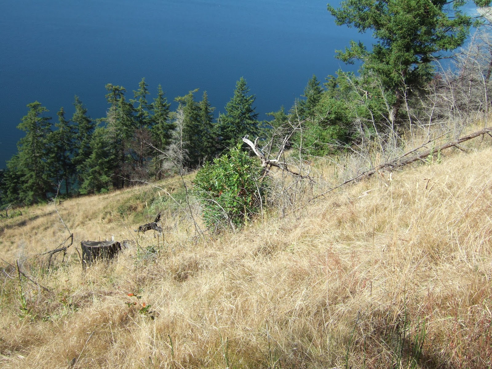
I paid a revisit to a burned over slope in western Washington. This is a slope that has a southwest aspect, is well within the rain shadow of the Olympic Range, and much of the slope is underlain by sand and gravel. Hence, a dry place that has remained a small prairie (small-prairie-at-discovery-bay).  During a previous winter visit I had noted that madrones were growing from burned stumps. In the two years since the growth has continued. Fire clears out the competing trees and the madrone is well suited for this setting.   


This prairie has been long lived. A sketch image from the Vancouver exploration of this area shows a grass slope at the same location in 1792. I suspect that First Nations use of the area enhanced the frequency of fire.

It is nice the see that madrone (Arbutus menziesii) is thriving here much as it did in 1792 when Archibald Menzies described the tree in detail while visiting the bay. Hard to image he did not walk up this prairie slope examining and collecting plants while visiting in May 1792.


Tuesday, December 22, 2015

Lateral Moraines and Boulders Above the Columbia

Finally got around to fixing a couple of glitches on the blog so I changed the banner picture as well while I was at it.


The pictures is from the upper slopes above the east side of the Columbia River across the river from Chelan. The slope consists of lateral moraines from the Okanogan ice lobe that covered the plateau to the east. As the ice retreated from the area a series of lateral moraines were left behind marking sort pauses of the ice retreat.

The massive boulders are nearly all basalt plucked from the top edge of the plateau. Technically most of them are glacial erratics in that the the underlying bedrock under the moraines is much older orthogneiss and granite.

The picture was taken in late spring while the grass was still green. This area is susceptible to wildland fire. It is wet enough for some pine trees on the upper slope but the fire recurrence in this area is fairly frequent and has minimized the tree establishment. This area partially burned last summer.

Tuesday, September 29, 2015

Notes on Upper Skagit Complex Fire

Yet another fire area from the 2015 wildfire season. The Upper Skagit Complex took place in forest. It burned up the Skagit River gorge along both sides of the highway. Hence, a drive over the North Cascades Highway will take you through the path of a forest fire. (Note Highway 20 over Sherman Pass east of Republic passes through a forest fire burn from a 1990s fire through a larch forest).   


My windshield was not particularly clean

The fire path and the view shown above is a good lesson in understanding how fire passes through a forest. The intensity of the fire varies a great deal. Many trees do not burn at all. Wet areas will survive the flames as will areas when the fire burns through an area at night.

This section of the fire burned into the rock large landslide that close the highway a few years back. The newish young red alders just above the highway were untouched, but upslope the fire must have been hot with had burning of the forest despite the rocky ground.
Most of this slope burned with some sections very intensely burned. But even then stands of green remain.
These trees appear to have survived, but despite the lack of understory on the talus slope their trunks were singed.
This area adjacent to the road burned, but the burn was along the ground. My understanding of this fire via reports from on the ground was that a fair bit of slow burning took place within the ground mass of the forest. Roots of the trees burned slowly for days and then the trees fell over, rolling down the slope. Indeed I noted lots of logs that appeared to be recent tree falls along the road as well as marks on the pavement indicating log falls on the highway.

The town of Newhalem with Newhalen Creek valley behind.

Newhalem is a company town owned by Seattle City Light as part of the Skagit River hydroelectric system owned and operated by Seattle. The fire burned around the town in part due to fire response efforts.

The late August storm event put this fire out. A remarkable storm. Most typical years this fire would have continued burning all the way until steady falls rains arrived.

The fire extent was not remarkable in area for this section of the North Cascades although the more fire prone areas are a typically a bit further east. Additional fires burned in more out of the way places further up the Skagit Valley this year with one fire reburning an area burned just a few years ago.

A good take away from this fire for those passing through is that acreage or square mile burned reports do not account for the fact that these burn areas are only partially burned. What will remain is a mixed age stand of trees with standing dead timber. By some measures a healthy ecosystem.

Monday, September 28, 2015

More Fire Notes: A bit of the Chelan Complex and Pateros One Year Later

I was not on a fire tour of central and eastern Washington; however, the recent burn areas cover a lot of ground. After my work adventures in central Washington including a site that happened to have been burned over, I headed up Highway 97 along the Columbia River and passed through a portion of the Chelan Complex fire that had expanded well beyond the Chelan area. Bad impacts in Chelan, but the fire ran up the Columbia River valley including crossing over the river.


Fish hatchery below slope up to Chelan

One aspect of some of the burned areas was how thin the fuels were. The slope above is dominantly gravel covered and yet the fire burned hot and got down the slope into the trees and brush just above the hatchery buildings. I noted other burned areas where the fuels appear to be so thin it was hard to tell it had even burned at all.

View of the east side of the Columbia River

The east side of the Columbia River along the river stretch north of Chelan is with the exception of a few remote homes sparsely populated. There is no road on the east side of the river and the ground is very steep so access is minimal. Based on what I saw on the plateau above, the control efforts were above the slope
Dry land burnt over between the terraces where orchards are present and the highway

Approaching Pateros from the south

Pateros was the site of a bad fire in 2014 (very-brief-notes-on-pateros) that burned into the town and destroyed several homes. The slope above the town, now gold grass burned from above and into the town. The fact that the fire managed to get past the irrigated orchards on the high terrace above the town and then burned down the grass slope and burned homes is a bit humbling to think about. Fire, hot days and wind are a bad combination and will require some thought in reducing fire risk in this dry area of central Washington.