Sunday, August 28, 2016

Lake Cavanaugh Talk

I was invited to speak to the Lake Cavanaugh Improvement Association regarding their local geology. What follows is a slightly modified version of the talk from the presentation.
 
Bald Mountain (bald-mountain) is north of Lake Cavanaugh. It is well hidden from the low lands, but for anyone that ventures into the Lake Cavanaugh area it stands out as "What is that?" Dimensionally the block of greenschist is very close in size to Devils Tower. If this block of rock was located in a less mountainous location, it would likely be elevated to National Park or Monument status.
 
I set a few goals for the talk. The goal was to pass on a modest understanding of these three subjects:
 

So first up accretion terrains, a fundamental part of much of the geology of Washington State.

 
 I recalled that a year ago I had the experience of looking at Jurassic age rocks in two very different settings during the same week.

Jurassic age formation at Petrified Forest National Park. Nearly flat, extends for miles, not metamorphosed, and very well exposed. 

 Jurassic rocks in the Northwest Cascades. Mangled, in this case vertical bedding (actually not bedding - just looks like bedding), intensely metamorphosed, limited extent, and mostly covered with forest so exposures are piecemeal.
 
I used this image from Wikipedia that shows the formation of an accretionary prism/wedge.
 Author: K.D. Schroeder
- graphic name.svg from Wikimedia Commons
- License: CC-BY-SA 3.0

This map from the Geologic Map of Washington - Northwest Quadrant (WDGER Geologic Map GM-50) shows the various terrains that have been added onto northwest Washington State.
 Lake Cavanaugh is located on the boundary between the Northwest Cascades System on the north (a group of terrains) and the Eastern and Western Melange belts to the south.


The specific terrain to the north is the Helena-Haystack Melange summarized as follows:
 

The setting of the Helena-Haystack Melange is indicated very roughly on the following image of the Jurassic world.

Colorado Plateau Geosystems, Inc. via Wikipedia

 Bald Mountain is part of the Helena-Haystack Melange. It is a large block of greenschist (metamorhopsed basalt) that is erosion resistant relative to the softer metamorphosed mudstones that were formerly around it.

To the south side of Lake Cavanaugh is the Eastern Melange Belt:


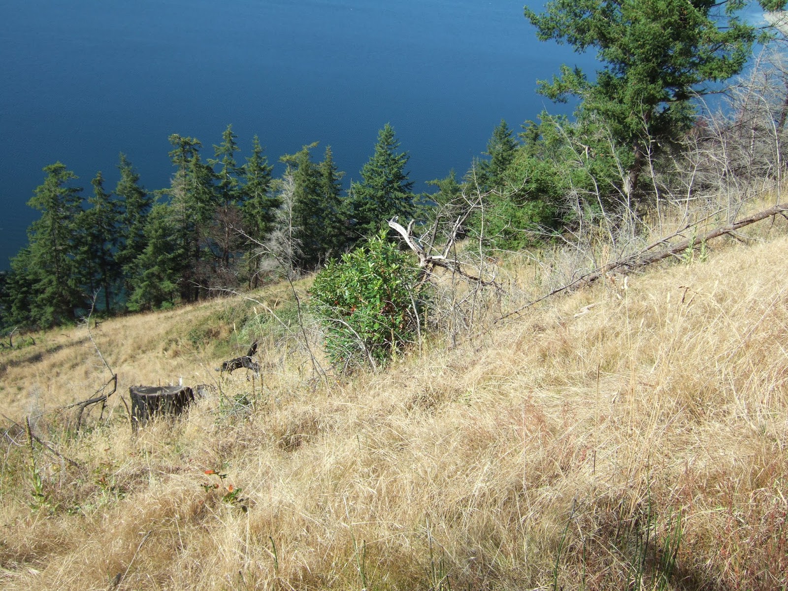
Unfortunately these rocks are not particularly photogenic. Hence, I left off rock pictures for the most part. This is a picture of some of the metamorphosed volcanic rock of the Eastern Melange Bely on the steep slopes of Frailey Mountain above Lake Cavanaugh to the south of the lake.


The map below is from the Snoqualmie Pass 1:100,000 Quadrangle geologic map by Tabor and others.
Lake Cavanaugh is located along the Devils Mountain Fault. The fault is thought to be a major tectonic boundary between the Eastern and Western Melange Belts to the south and the Helana-Haystack Melange to the north. An interesting aspect of the fault is that it appears to be actually off set by the Straight Creek Fault. Note the HH Melange and NWCS south of Mount Stewart. The idea is that the Devils Mountain Fault was once part of the Olympic-Wallowa Lineament that was offset to the north by the Straight Creek Fault.

The Devils Mountain Fault is summarized:


I did have some bedrock formation rock pictures of the Bulson Creek conglomerate that crops out on the lower southwestern slopes of Frailey Mountain. The cobbles include rocks from the Eastern Melange Belt and the Helana-Haystack. The idea is that this formation formed within basins associated with movement along the Devils Mountain Fault.


 The Geologic Map of the Stimson Hill Quadrangle (Dragovich and others, 2004) provides a nice cross section right through Lake Cavanaugh and the Devils Mountain Fault Zone.


Approximate maximum extent of continental glacial ice during the last ice age 18,000 years ago

Puget ice lobe blocking river outlets from the Cascades.
The dark blue represents potentially lake areas in Cascade valleys 

Ice advancing into Lake Cavanaugh area water flow into the North Fork Stillaguamish glacial lake


LiDAR view of area north of Lake Cavanaugh showing the resistant Bald Mountain and the ice scour across the landscape.

I touched briefly on over consolidated lake sediments and how they loose stability over time.
 
Landslide failure surface within over consolidated silt/clay
 
Hard compact silt/clay
 
Same silt/clay showing partings opening up where water can flow through and further weaken the material
 
I have been concluding talks with this quote. But note that geology gives us plenty of notice. Perhaps a measure of a civilization in how that civilization responds to the notice that is given.


Thursday, August 25, 2016

A Fovorite Pocket Beach

I stopped at a favorite pocket beach for lunch. First I stopped around the corner for pizza by the slice.
 
Lunch on the beach with my backpack, architectural drawings for a project and pizza 

This was my second visit to this beach in the past month. Last time was for dinner after a long day of field work. As the pizza place was closing for the night they gave me my slice for free and I enjoyed it while watching the dark bay of Port Townsend.


The pocket beach is at the end of Taylor Street. It is one of a few pockets of sand between the rockery bulkheads and piers along the old Port Townsend waterfront.

View of the beach from the ferry Kennewick

Monday, August 22, 2016

Detailed Alluvial Mapping with July Aerials in Western Washington

Reviewing aerial images is a routine part of my work. Over time the images have become better and better with images over the past decade being of substantially greater resolution and detail compared to older images. And of course color images are more typical today than the black and white images up through the 1990s. 

The set images below were taken in July 2015 and are of an area in western Washington. The timing of the images captures the window of time as grass pastures begin to dry out and grass goes dormant. The variability of drying out tells a story of the underlying soil.  

Alluvial fan from creek coning out of a steep forest slope to the southeast
Old channels underlain by gravel have turned brown sooner than the areas underlain by silt
The interpretation was confirmed with test pits dug on the fan surface

Another fan, there may be some mowing and animal paths as well 

Old river flow paths are obvious in the tree filled abandoned channels but are also evident in the soil. 

Sunday, August 21, 2016

Drought and a Lawn Weed Notes

This summer has proven to be dry and of late very warm relative to average records. I have had a lot away time from my home, but this has been a dry year for my small garden plot. Good ripening for the tomatoes but they are not as robust as they should be due to my neglect.  
 
Our other new home base where Lisa has her studio is a new landscape and ecosystem so I do not have a memory of what is normal. So my observations have no context for comparison.
 
Big leaf maples began dropping leaves a couple of weeks ago

Vine maples are not turning color just drying up

The two maple species have few leaves left

The trail back into the forest has a very fall look although the temperature was in the low 80s

The lawn is dormant but a few green weeds take advantage of the dormant grass

Those "weeds" are habitat
Numerous butterflies and honey bees enjoy the weeds
I missed a photo chance at a favorite - anise swallowtail
The above is an unknown skipper

The rabbits like the same lawn weed

If I have learned anything about this new ecosystem it is that a lawn weed is much appreciated by my new neighbors.

Thursday, August 18, 2016

Naselle River Notes

I was digging through some historic sources on the Naselle River area in southwest Washington and spotted this classic tree-like drainage pattern within a farm field.

2013 (USGS)

The field is protected from salt water inundation by a dike along the river bank which presents tidal water from flooding the fields. But this is a wet area and with low elevation and very shallow groundwater the filed id covered with drainage patterns consistent with a tidal marsh.

This particular field has not changes much over the aerial photographic period>

1953 (USGS)

These lands were settled fairly early by American settlers. Fishing, oysters, calms and timber with ready access to water for transport attracted early resource extractors. First nations peoples (Chinooks) had already used these bays and inlets for oyster gathering and trade. The farming soon followed with dikes and flood gates converting the rich alluvial estuary soils to pasture.

Investigations by Brian Atwater starting in the 1980s identified drowned forests along tidal areas of Willapa Bay and in the tidal areas of the Naselle River. These areas had been higher in elevation and then subsided during a large Cascadia subduction zone earthquake. The trees were killed by the flooding of the forest with salt water. Tsunami related sediments are present along many of these tidal areas. Post earthquake, alluvial sediment from floods has also covered these low lying areas with a layer of silt and mud.  Excellent soil if one can keep the saltwater out. 

Wednesday, August 17, 2016

Bjornstad: Lake Sacajawea Flood Bar

Bruce Bjornstad has been putting together a series of videos on ice age flood features. The latest is on a huge gravel bar on the lower Snake River. The ice-age flood features on the lower Snake are some of the best evidence of the scale of the massive floods. It is not possible to assign these features to other actions.  

Sunday, August 14, 2016

Eagle Geology and a Drain Pipe Perch

On many shoreline bluff visits I observe bald eagles. We are fortunate in Washington that they have become such a common site. As common as they may be they are still fun to observe.  I spotted this eagle while walking a shoreline bluff along the Strait of Juan de Fuca and observing the steep bluff geology above me. He was in a classic perch - a wind sculpted tall mature Douglas fir near the edge of a steep high bluff.
 
Perfect viewing spot atop a fir.

A bit after passing by the eagle perch, I watched the eagle soar out over the water. The bird headed back with no catch, but seemed to be taking a close look at the same features I was looking at - the bluff geology.

Eagle and outwash geology of sand and gravel with rip up blocks of silt

Eagle and glacial drift 

Eagle and more drift


The eagle did not return to its tree perch, but instead alighted on a drain pipe protruding from the bluff face.
 The way the bird headed on its flight strongly suggested this was a well known perch versus a sudden interest in geology by bald eagles.


The eagle was high enough above me to not be too concerned with my presence. The bluff here is about 100 feet high. At times like this I sometimes wish I had a better camera with me. But given the rough field work I do I am fairly happy with my small point and shoot Fuji. I leave it to better equipped folks to get the really good wildlife shots.

Saturday, August 13, 2016

Fire and Madrones

I paid a revisit to a burned over slope in western Washington. This is a slope that has a southwest aspect, is well within the rain shadow of the Olympic Range, and much of the slope is underlain by sand and gravel. Hence, a dry place that has remained a small prairie (small-prairie-at-discovery-bay).  During a previous winter visit I had noted that madrones were growing from burned stumps. In the two years since the growth has continued. Fire clears out the competing trees and the madrone is well suited for this setting.   


This prairie has been long lived. A sketch image from the Vancouver exploration of this area shows a grass slope at the same location in 1792. I suspect that First Nations use of the area enhanced the frequency of fire.

It is nice the see that madrone (Arbutus menziesii) is thriving here much as it did in 1792 when Archibald Menzies described the tree in detail while visiting the bay. Hard to image he did not walk up this prairie slope examining and collecting plants while visiting in May 1792.